
There are few places in the lower 48, no the world, that are both as visited and untracked as the Grand Canyon. For over 250 miles the canyon twists and turns, with side canyons, buttes and shear cliffs dominating its panoramas. It is an imposing feature of geography. Millions of people come to visit and see the canyon. Yet only a fraction journey off the Bright Angel-Kaibab Corridor. Most of those that see the canyon bottom do it at those few access points or from the seat of a raft. It is stunning the number of near un-utilized routes the canyon offers up if you are willing to do a little driving, a lot of navigation and even more scrambling. Most of these places are marked by an obscure cairn in the desert, a break in the cliff or a “marker” boulder. These are the best kinds of places, places you have to have been to find.


To be fair to those who don’t journey into its depth, the canyon repelled many adventurers from the American frontier days. It remained a blank spot on the map for so long it prompted Samuel Bowle to ask “Is there any other nation so ignorant of itself?”. Today the canyon is no secret and nearly every boulder strewn crack and broken cliff face that can be climbed has been used as a route in and out of the canyon. Yet despite this the adventures who have figured these out do not part easily with their secrets. This attitude has kept the feeling of mystery and awe alive when you do manage to find a little pocket of it all to yourself.
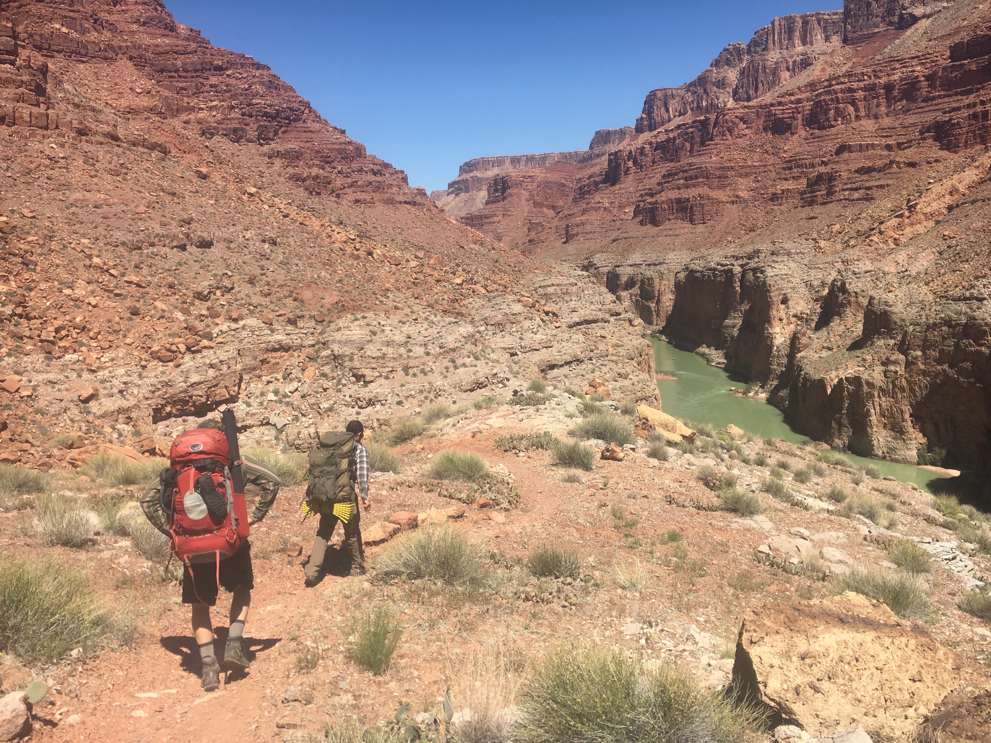
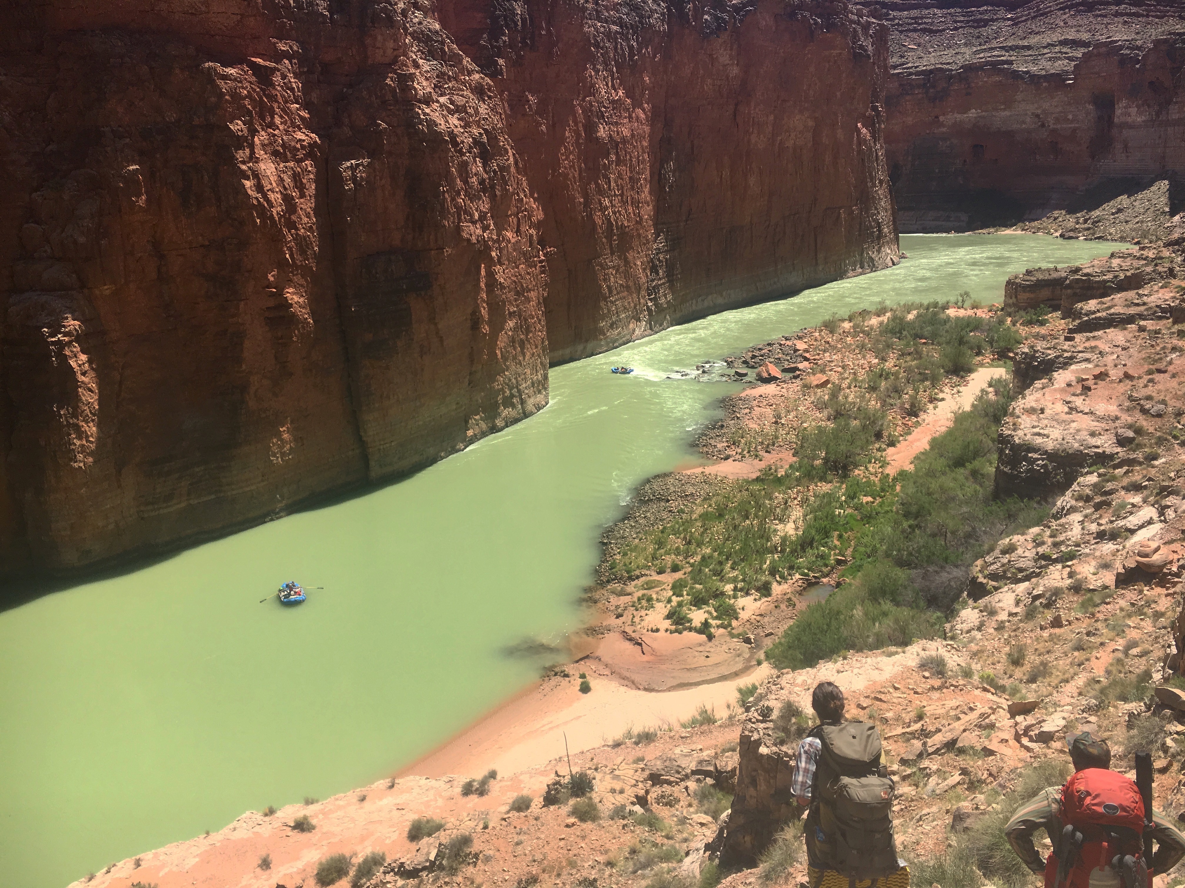
Our journey this time took some of our group back to a familiar entry and left some others at the top scratching their heads as to just how exactly this is considered a tenable access point to the river. Standing from the top you can see the green waters below, tantalizingly close, until you realize the vertical endeavor you are about to embark upon. A side note on the green water, emerald green is good fishing, the white/peasoup green we could see did not bode well to angling adventures. Still that is no reason to put the rod away!

The mileage on paper looks like it will be an easy stroll to the river, but your knees beg to differ. The trail is VERTICAL, there are more than a few spots where your foot can travel from ground, to 50ft+ off the deck, to the ground in a single step. What the route lacks in distance it makes up for in effort and excitement.


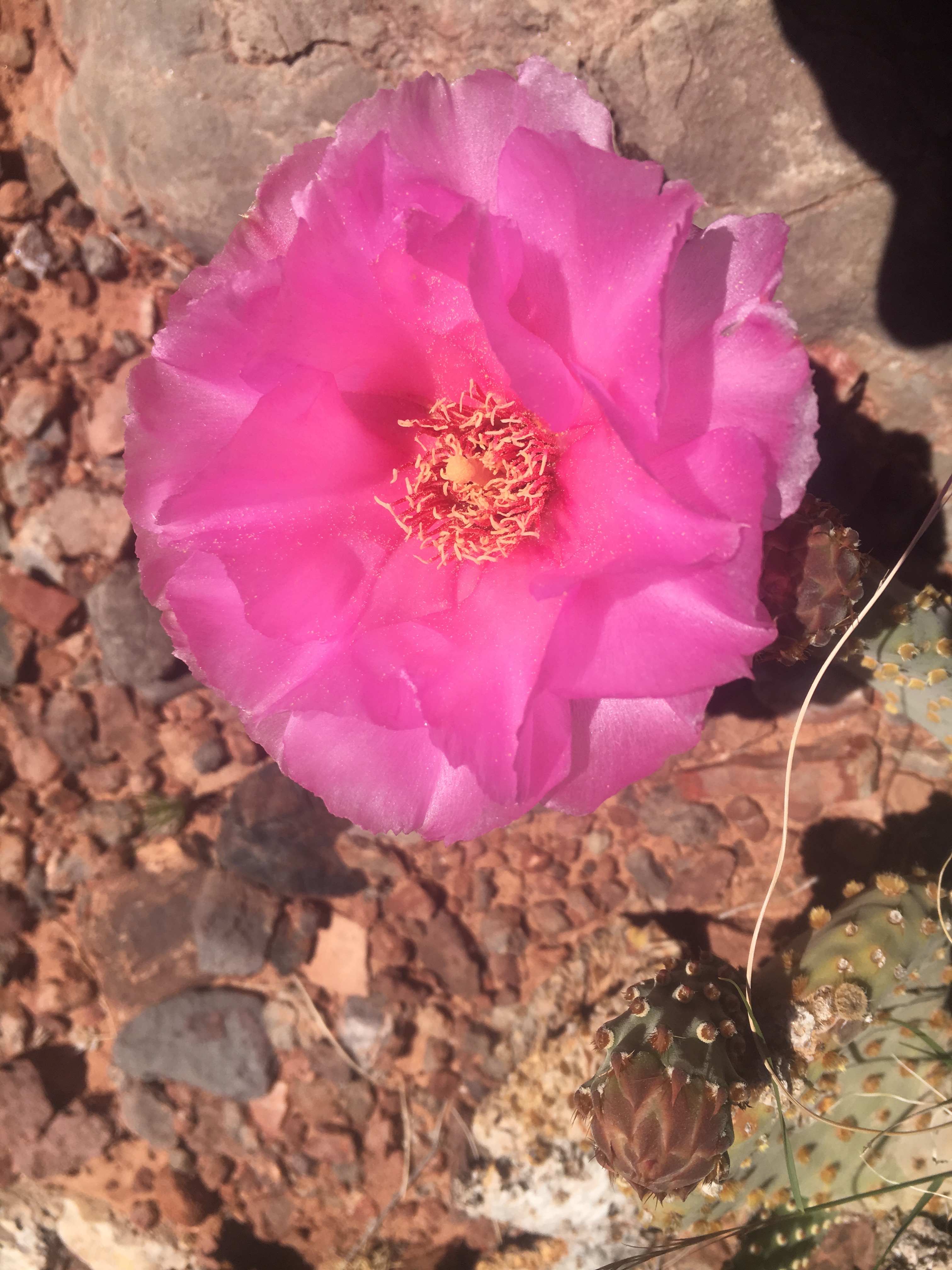
The morning had been cold but by the time we reached the valley bottom there were butterflies swarming the whole canyon. The wet winter seems to have the plants making up for lost time, with flowers everywhere and the canyon as green as it ever is.


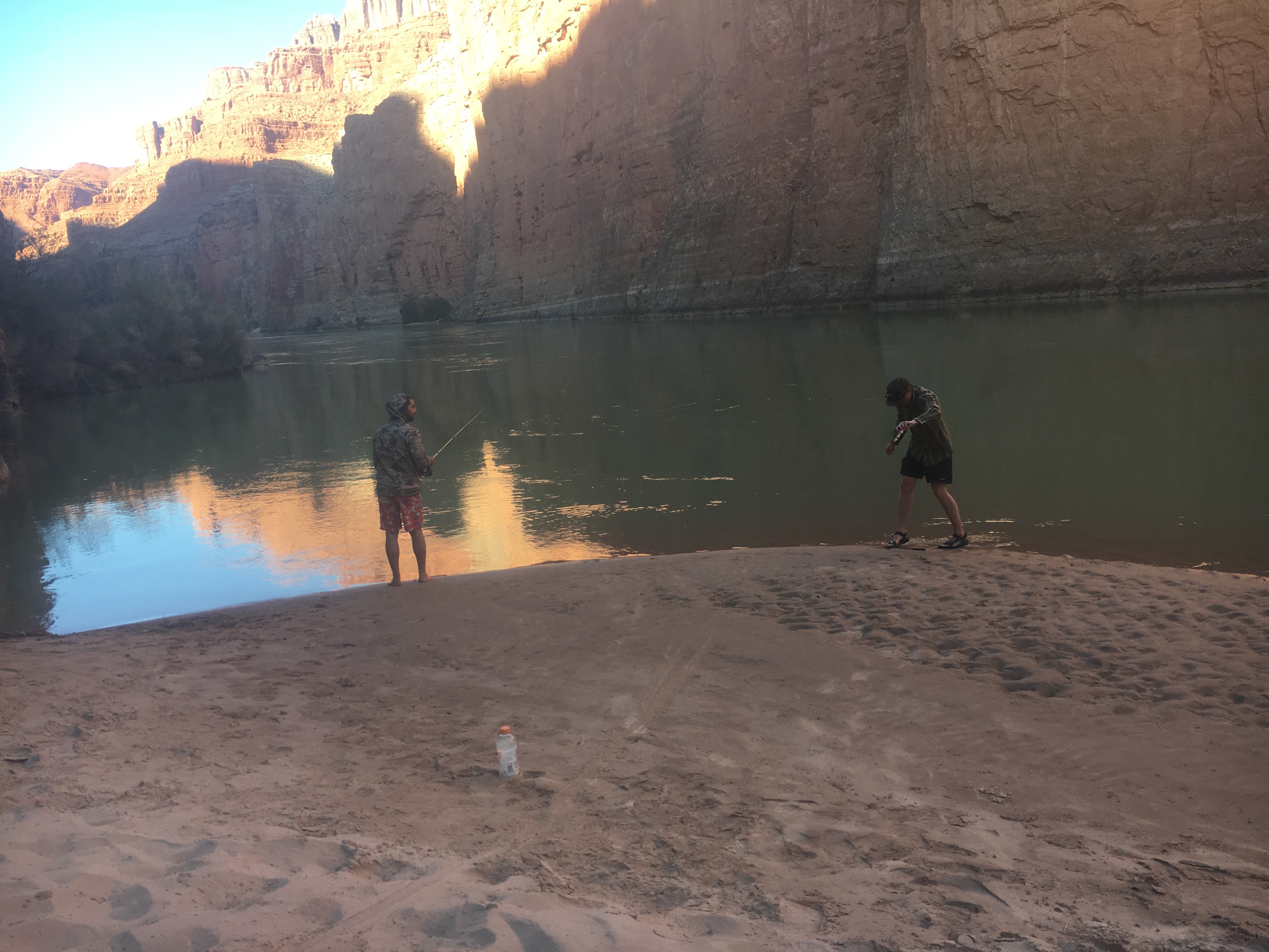
The river was pea soup green, and maybe equally thick. However that didn’t stop us from rushing to rig up our rods. All the rushing was was for naught though as we tried both nymphs and streamers with no luck. All of us took a snack break while Tanner kept fishing. His persistence was rewarded when we heard a shout and saw a flash and frothing water out in front of him.
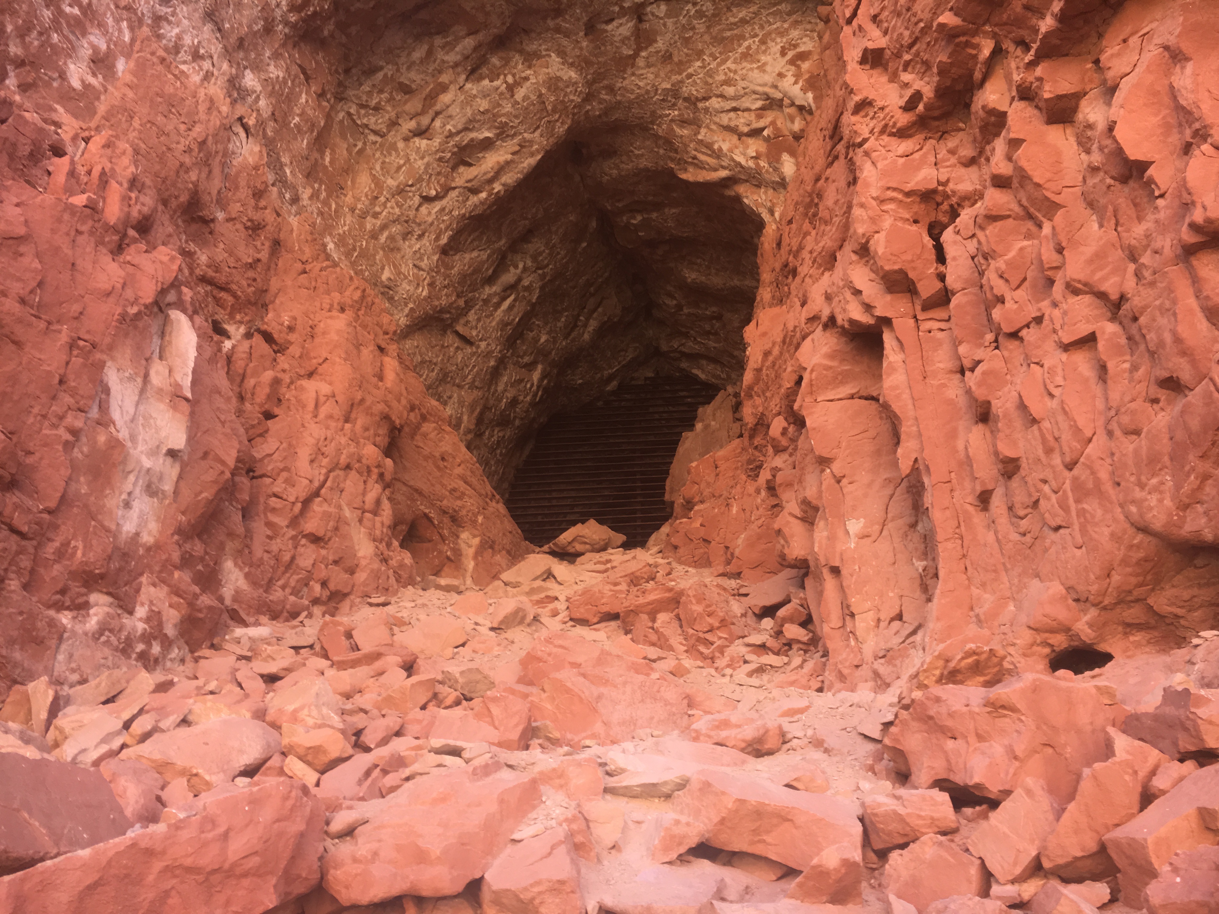
Taking a break from fishing we explored the area and its surrounding beaches. The cave’s entrance lay about 100 feet higher than the river, overlooking a bend and commanding an impressive view. The cave was used by Native Americans as well as early western canyon explorers. Currently though it is home to bats and due to the gate added by the park service it appears they will remain its only residence for sometime to come.

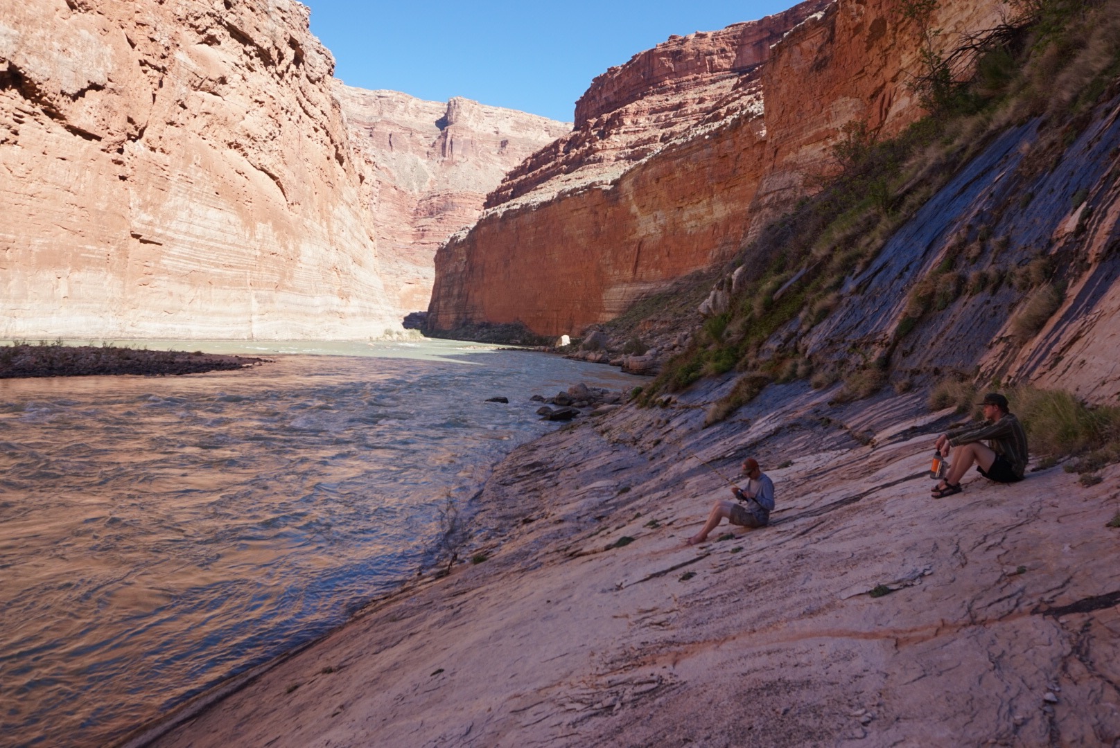


We did finally manage to get a few trout out of the eddy as the sun began to set. Just enough fish add some real food to the freeze dried dinners we had brought with us.
The next day dawned clear and not too cold, reminding us of the penalty of lingering too long on the beach. A hot, steep hike. We opted for only the steep option and left before the sun had cleared the canyon walls.


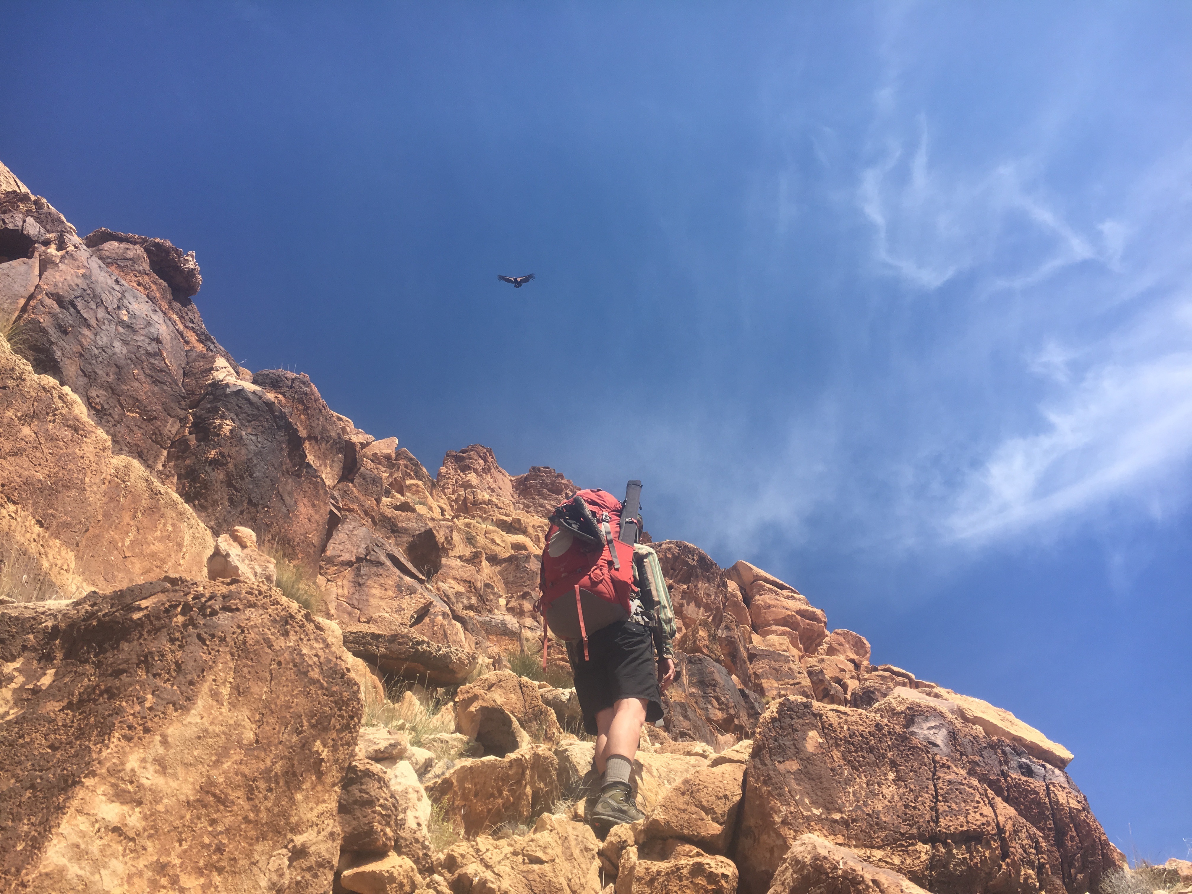
Our final hundred feet to the summit was interrupted by a condor passing maybe 15 feet from us on the face of the cliff. Our surprised shouts of condor startled the bird who appeared to do a double take. I’m not sure who was more surprised. What a way to end the trip!
